Large Scale vs Small Scale Charts: What’s The Difference?
When you are navigating on the water, you’re going to need multiple charts showing the same location, just at different scales. You’ll want a mix…
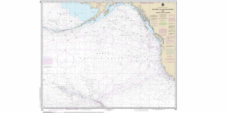
When you are navigating on the water, you’re going to need multiple charts showing the same location, just at different scales. You’ll want a mix…
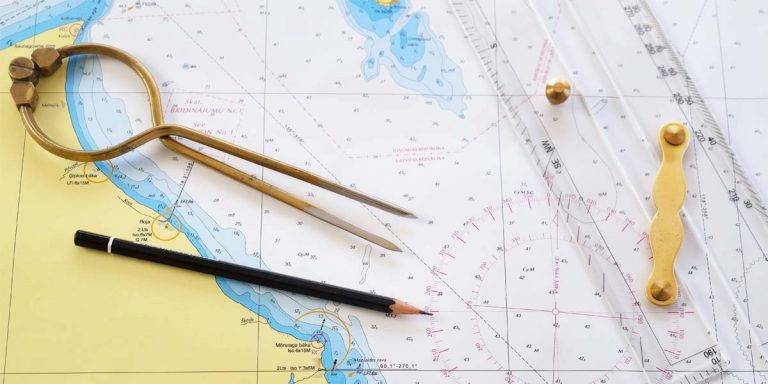
One of the most unusual features of a nautical chart is that you will almost never find a scale bar. This is because the scale…
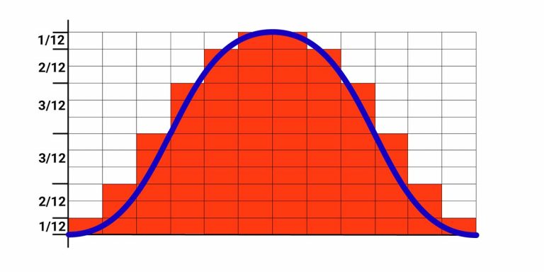
Although accurately calculating the height of tide between high water and low water will always rely on accurately plotting a tidal curve, there is a…
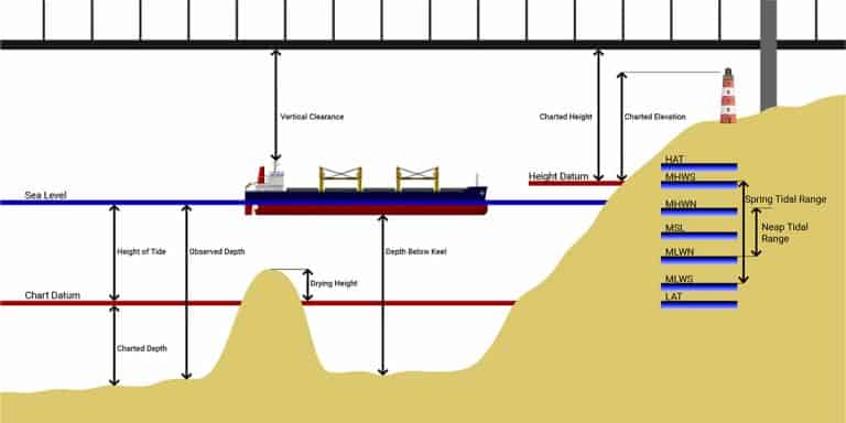
Did you know that the soundings given on a nautical chart are not the depths of water that you can expect to measure? This is…
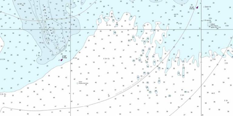
Nautical charts are filled with so much information that it is inevitable some things would be abbreviated. One such abbreviation is for the terms describing…
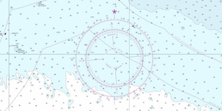
Despite being one of the oldest navigational aids, the magnetic compass still sits in pride of place next to the helm of almost every seagoing…

We all know that nautical charts are the primary source of depth information for navigators, but what about Google? Google Maps and Google Earth both…
Google Maps is a fantastic app for navigating in a car. It combines a complete map of the world’s roads, with real-time traffic information to…
Marine navigation apps for a tablet or mobile phone are a relatively recent innovation. Not only did the technology need to be sufficient to be…

When you first get hold of a sextant it can seem like a daunting prospect to learn how to use it. I experienced the same…
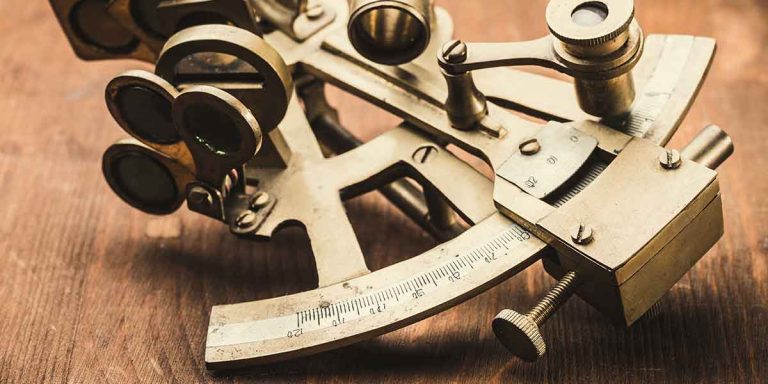
Having spent most of my professional career learning navigational skills and techniques, I can honestly say that mastering the sextant was one of the most…

The most well-known use for a sextant is to measure the altitude of celestial bodies so that you can plot your position onto a chart….