Why Do Cargo Ships Blow Their Horns?
The sound of a ship’s whistle – the proper term for a ship’s horn – evokes a recognisable nautical sound. But, did you know that…
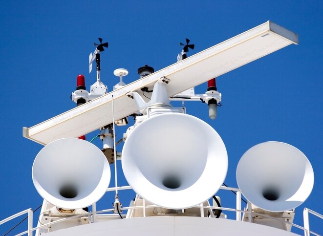
The sound of a ship’s whistle – the proper term for a ship’s horn – evokes a recognisable nautical sound. But, did you know that…
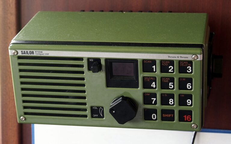
With almost 100,000 merchant ships sailing the world’s waterways, it is obvious that there must be some way for ships to communicate with each other. The maritime…
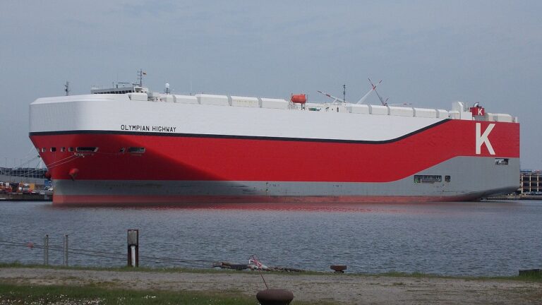
The mass transportation of cargo across the globe would not be possible without cargo ships. A container ship sailing at full speed in a straight…
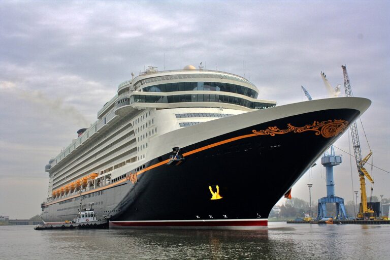
Since the introduction of the world’s first bona-fide cruise ship Prinzessin Victoria Luise in 1901, cruising has developed into a multi-billion-dollar industry. There are currently over 320 cruise ships…
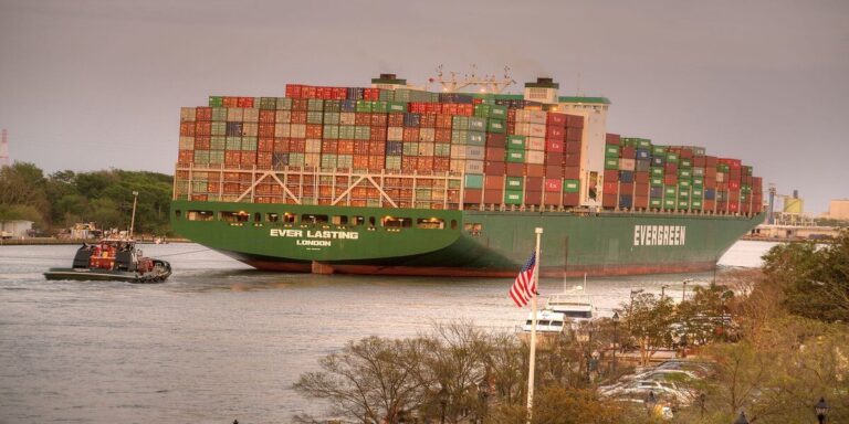
No single invention has revolutionised modern shipping as much as the introduction of the shipping container. Since the first purpose-built container ship was introduced in…
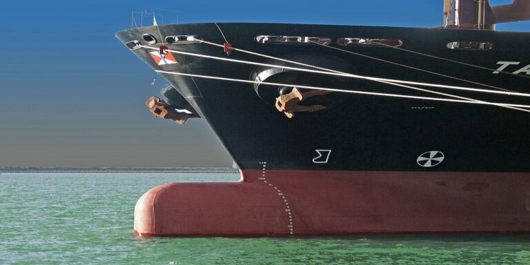
To build a new cargo ship, it could cost you anywhere from a few million dollars for a small general cargo ship up to $145 million for…
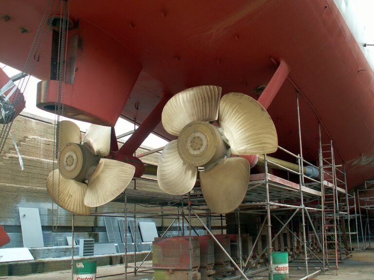
Some ships have reverse gears and some don’t, but it is possible for every ship to move astern (backwards). There are many different types of propulsion…
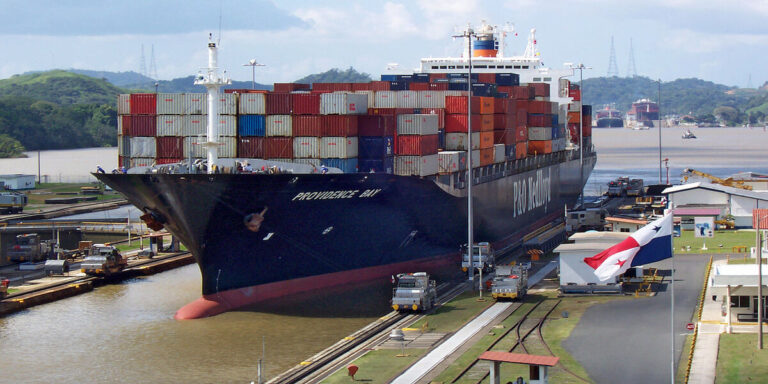
When you hear the term ‘cargo ship’, what do you think of? Whatever comes to mind, you’re probably right. ‘Cargo ship’ is an all-encompassing term for…

On average, a cargo ship can take anywhere from 16 to 27 days to travel from China to the US west coast, and from 29 to 49 days to…
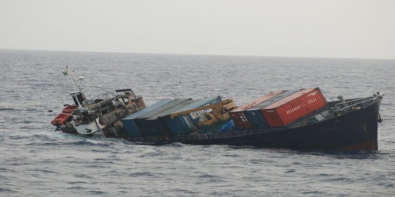
It is well known that working at sea can be perilous and sometimes deadly. Data from Allianz shows that 54 merchant ships were lost in 2021. This is…
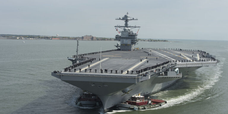
If you’ve ever seen an aircraft carrier up close, you will know that they are imposingly massive. The flared shape of their hull as you…
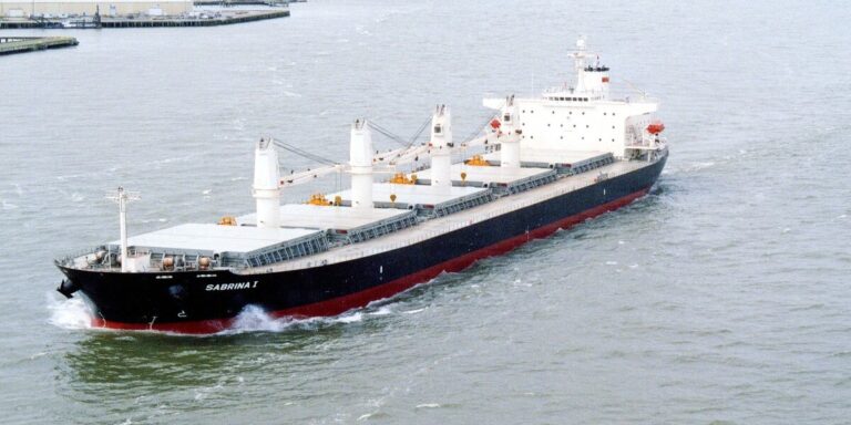
It is estimated that there are 99,800 merchant ships across the globe. This number, from the United Nations Conference on Trade and Development (UNCTAD), does not include…