What Are Pink Ducks On Navionics & Can You Turn Them Off?
If you have Navionics charts, chances are that you have noticed the strange pink ducks that appear in some areas.
In fact, they are not only found on Navionics charts. They actually appear on all sorts of different nautical charts from many different providers.
The pink ducks (or birds) on a nautical chart represent Environmentally Sensitive Sea Areas like bird sanctuaries or nature reserves. They can be turned off on some (but not all) devices because they are designed to draw your attention to areas that require extra caution while navigating.
One of the unique features of nautical charts is the range of symbols and abbreviations that are used to convey different information.
There are so many that hydrographic organisations actually publish a book full of them to explain their meaning.
For example, in the US, NOAA publishes Chart No.1, which contains over 100 pages of symbols and abbreviations used on their charts.
One such symbol is a green or purple coloured duck.

The ducks are actually a symbol used internationally, not just by NOAA. It is adopted by the International Hydrographic Organisation, which means that you will find them on charts worldwide.
They literally mean “Environmentally Sensitive Sea Area”, or “Bird Sanctuary”.
Different animals are used to represent different sanctuaries.
For example, seal sanctuaries, penguin sanctuaries, seahorse sanctuaries, etc.
Some electronic chart providers give you the option to turn them off within the “Restricted Areas” layer, but not every provider gives you that option.
How to find out what chart symbols mean
Hydrographic organisations publish an index to their nautical charts for mariners to use as a reference.
In the United States, you can use Chart No.1, from NOAA. As a US government work, Chart No.1 is available for free from NOAA’s website: Chart No.1
The UK equivalent is the British Admiralty Chart 5011. Chart 5011 is available to purchase from all good nautical bookshops.
Both volumes contain “Symbols, Abbreviations and Terms used on Paper and Electronic Navigational Charts”.
They tell you official symbols that are used on official charts, either paper charts of ECDIS. They do not necessarily give you the same symbols that are used on non-approved charts from other providers, such as Navionics.
While Navionics does adopt most of the same symbols and abbreviations that are used by official charts, there is no legal requirement to do so.
Instead, you can interrogate the chart to find out what every symbol means.
Interrogation just means you click on the symbol to bring up the textual description.
For example, when I interrogate one of the purple ducks on my Navionics charts, the description says:
Restricted area – Nature reserve: Yarmouth cowes
Desctiption revealed after interrogating a duck on a Navionics chart.
What do restricted areas look like?
There are many different types of restricted areas, all displayed slightly differently on different charts.
As a general overview, the following are from Chart No.1.
No anchoring
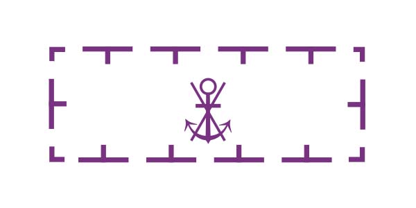
Interrogating an electronic chart in an “Anchoring prohibited” area will give you further details. Usually, it means that all anchoring is prohibited at all times, but it may tell you that there are some exemptions.
No fishing
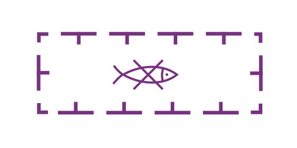
In a “Fishing prohibited” area, it usually means that all types of fishing are prohibited. You can interrogate the chart for more details and it may tell you that the prohibition is only for a certain type of fishing, or it may tell you that the restriction is seasonal.
No diving
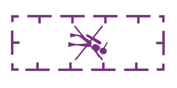
In a “Diving prohibited” area, you are not allowed to dive. Occasionally interrogation of the chart will give you further details, but not always. Diving could be prohibited for any number of reasons including safety; ecological protection; and historical or cultural protection.
Environmentally Sensitive Sea Area (Bird Sanctuary)
Environmentally sensitive sea areas could be used to describe any number of different areas. When the area is most appropriately described as a bird sanctuary, you will find this symbol. Other animals may be illustrated to describe different sanctuaries.
Environmentally Sensitive Sea Area (Seal Sanctuary)
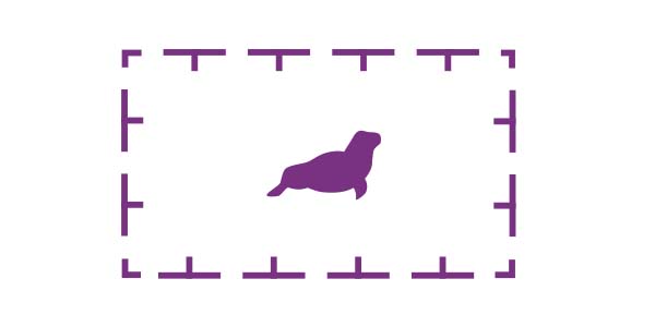
Environmentally sensitive sea areas could be used to describe any number of different areas. When the area is most appropriately described as a seal sanctuary, you will find this symbol. Other animals may be illustrated to describe different sanctuaries.
Particularly Sensitive Sea Area
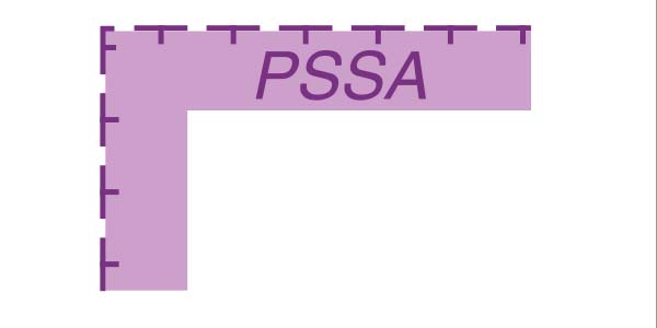
Particularly sensitive sea areas are areas that have been designated by the International Maritime Organisation as areas that need special protection due to their ecological, socio-economic or scientific significance.
How do you turn off restricted areas on a chart?
Electronic charts are built using a series of layers. Depending on the equipment you are using to display your charts, you will have the ability to turn off certain layers.
Pro Tip: Never deactivate areas unless you are confident with the process. Deactivating layers could remove crucial information from your chart.
One layer that you will find on most systems is “Caution Areas” or “Restricted Areas”. Both terms mean the same thing, they are just different terms used by different chart providers.
The “Caution Areas” layer contains all of the areas that we have discussed above such as:
- PSSAs
- Anchoring prohibited areas
- Anchoring allowed areas
- Animal sanctuaries
*Different providers may include different items within the “Caution Areas” layer. Check your own provider for full details.
To remove all these areas (and the pink ducks) from your chart, you need to deactivate the “Caution Areas” layer.
When deactivating the layer, check through your entire passage plan first because you may be deactivating information that would be useful for navigation.
Pro Tip: You should always navigate with as many layers as possible turned on. Only consider turning a layer off if your screen gets so cluttered that it hinders safe navigation.